New Way Lane
Introduction
The photograph on this page of New Way Lane by Simon Carey as part of the Geograph project.
The Geograph project started in 2005 with the aim of publishing, organising and preserving representative images for every square kilometre of Great Britain, Ireland and the Isle of Man.

There are currently over 7.5m images from over 14,400 individuals and you can help contribute to the project by visiting https://www.geograph.org.uk
New Way Lane
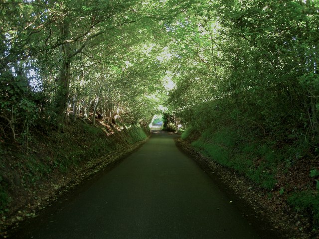
Image: © Simon Carey Taken: 7 Jun 2014
Heading south down the slope from the ridge that contains the village of Hurstpierpoint.The holloway is quite pronounced here just to the north of the main entrance to Danny. The lane links the village to Clayton.
Images are licensed for reuse under creativecommons.org/licenses/by-sa/2.0
Image Location


Leaflet Map data © OpenStreetMap
Latitude
50.926904
Longitude
-0.167406