Danny Corner/Randiddles, Hassocks Road, Hurstpierpoint
Introduction
The photograph on this page of Danny Corner/Randiddles, Hassocks Road, Hurstpierpoint by Simon Carey as part of the Geograph project.
The Geograph project started in 2005 with the aim of publishing, organising and preserving representative images for every square kilometre of Great Britain, Ireland and the Isle of Man.

There are currently over 7.5m images from over 14,400 individuals and you can help contribute to the project by visiting https://www.geograph.org.uk
Danny Corner/Randiddles, Hassocks Road, Hurstpierpoint
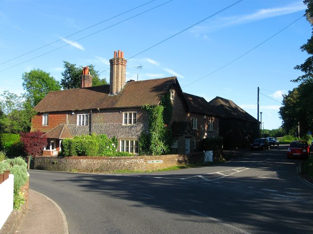
Image: © Simon Carey Taken: 7 Jun 2014
The house dates back to the 18th century and was formerly Randiddles Farm whose 18th century barn still survives among the shadows in New Way Lane. Danny Corner is on the left, Randiddles to the right next to New Way Lane which heads south to Clayton.
Images are licensed for reuse under creativecommons.org/licenses/by-sa/2.0
Image Location
Latitude
50.928432
Longitude
-0.167346