Hurst Wickham Barn, College Lane, Hurst Wickham
Introduction
The photograph on this page of Hurst Wickham Barn, College Lane, Hurst Wickham by Simon Carey as part of the Geograph project.
The Geograph project started in 2005 with the aim of publishing, organising and preserving representative images for every square kilometre of Great Britain, Ireland and the Isle of Man.

There are currently over 7.5m images from over 14,400 individuals and you can help contribute to the project by visiting https://www.geograph.org.uk
Hurst Wickham Barn, College Lane, Hurst Wickham
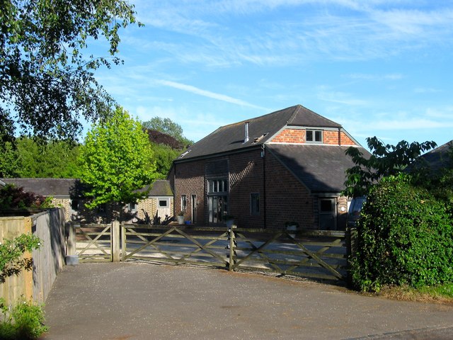
Image: © Simon Carey Taken: 7 Jun 2014
Marked as Hurst Wickham Farm on early OS maps and by the 1970s had become Hurst Wickham Stables and now seems to have been converted into a dwelling.
Images are licensed for reuse under creativecommons.org/licenses/by-sa/2.0
Image Location


Leaflet Map data © OpenStreetMap
Latitude
50.931963
Longitude
-0.16308