Rail Junction west of Sutton Station.
Introduction
The photograph on this page of Rail Junction west of Sutton Station. by Noel Foster as part of the Geograph project.
The Geograph project started in 2005 with the aim of publishing, organising and preserving representative images for every square kilometre of Great Britain, Ireland and the Isle of Man.

There are currently over 7.5m images from over 14,400 individuals and you can help contribute to the project by visiting https://www.geograph.org.uk
Rail Junction west of Sutton Station.
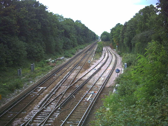
Image: © Noel Foster Taken: 20 Aug 2005
Taken from Bridge Road. The tracks curving off to the right are the Thameslink via Wimbledon to Streatham and points north, straight on goes to Epsom.
Images are licensed for reuse under creativecommons.org/licenses/by-sa/2.0
Image Location
Latitude
51.358473
Longitude
-0.196054