The Braid, Ballymena - June 2014(3)
Introduction
The photograph on this page of The Braid, Ballymena - June 2014(3) by Albert Bridge as part of the Geograph project.
The Geograph project started in 2005 with the aim of publishing, organising and preserving representative images for every square kilometre of Great Britain, Ireland and the Isle of Man.

There are currently over 7.5m images from over 14,400 individuals and you can help contribute to the project by visiting https://www.geograph.org.uk
The Braid, Ballymena - June 2014(3)
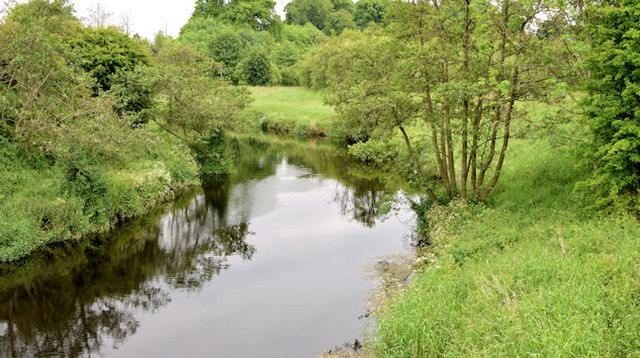
Image: © Albert Bridge Taken: 13 Jun 2014
The Braid, looking upstream from the Ballykeel Bridge on the dual carriageway out to the M2 Larne Road roundabout. The banks upstream are part of the undeveloped and preserved area leading to here Image and Image and to the Ecos centre Image
Images are licensed for reuse under creativecommons.org/licenses/by-sa/2.0
Image Location
Latitude
54.859833
Longitude
-6.266759