Main Street, Shap
Introduction
The photograph on this page of Main Street, Shap by Oliver Dixon as part of the Geograph project.
The Geograph project started in 2005 with the aim of publishing, organising and preserving representative images for every square kilometre of Great Britain, Ireland and the Isle of Man.

There are currently over 7.5m images from over 14,400 individuals and you can help contribute to the project by visiting https://www.geograph.org.uk
Main Street, Shap
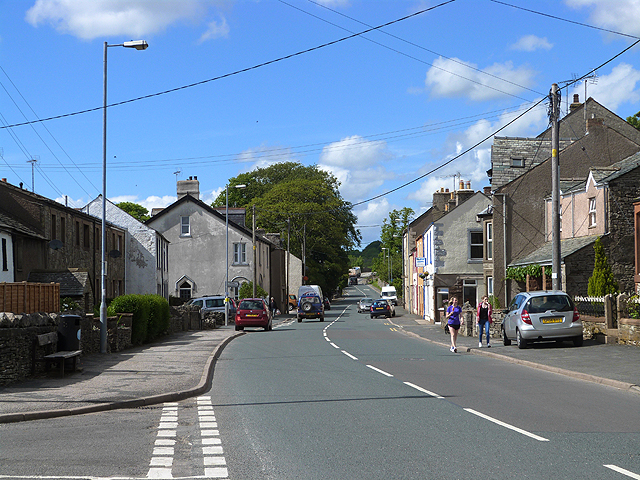
Image: © Oliver Dixon Taken: 11 Jun 2014
Hard to remember that this village street, designated A6, once carried all the traffic bound for Carlisle and the west of Scotland.
Images are licensed for reuse under creativecommons.org/licenses/by-sa/2.0
Image Location
Latitude
54.532419
Longitude
-2.678515