Kneesall Village Hall
Introduction
The photograph on this page of Kneesall Village Hall by Alan Murray-Rust as part of the Geograph project.
The Geograph project started in 2005 with the aim of publishing, organising and preserving representative images for every square kilometre of Great Britain, Ireland and the Isle of Man.

There are currently over 7.5m images from over 14,400 individuals and you can help contribute to the project by visiting https://www.geograph.org.uk
Kneesall Village Hall
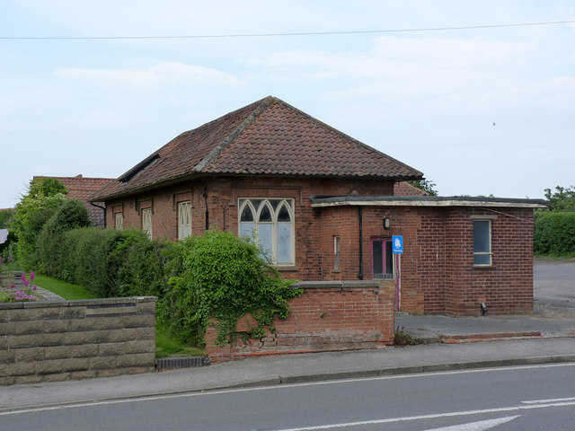
Image: © Alan Murray-Rust Taken: 1 Jun 2014
Now slowly decaying following the conversion of part of the parish church into a new Community Centre http://www.geograph.org.uk/photo/4024703
Images are licensed for reuse under creativecommons.org/licenses/by-sa/2.0
Image Location
Latitude
53.170548
Longitude
-0.949494