Danger deep water sign at Gulpher Pond
Introduction
The photograph on this page of Danger deep water sign at Gulpher Pond by Hamish Griffin as part of the Geograph project.
The Geograph project started in 2005 with the aim of publishing, organising and preserving representative images for every square kilometre of Great Britain, Ireland and the Isle of Man.

There are currently over 7.5m images from over 14,400 individuals and you can help contribute to the project by visiting https://www.geograph.org.uk
Danger deep water sign at Gulpher Pond
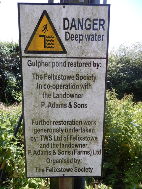
Image: © Hamish Griffin Taken: 10 Jun 2014
It reads "Gulpher pond restored by: The Felixstowe Society in co-operation with the Landowner P. Adams & Sons Further restoration work generously undertaken by: TWS Ltd of Felixstowe and the landowner P. Adams & Sons (Farms) Ltd Organised by: The Felixstowe Society". The power line can be seen behind. Gulpher Pond itself is to the right.
Images are licensed for reuse under creativecommons.org/licenses/by-sa/2.0
Image Location
Latitude
51.981462
Longitude
1.35486