Former Bond Street car park, 2007
Introduction
The photograph on this page of Former Bond Street car park, 2007 by E Gammie as part of the Geograph project.
The Geograph project started in 2005 with the aim of publishing, organising and preserving representative images for every square kilometre of Great Britain, Ireland and the Isle of Man.

There are currently over 7.5m images from over 14,400 individuals and you can help contribute to the project by visiting https://www.geograph.org.uk
Former Bond Street car park, 2007
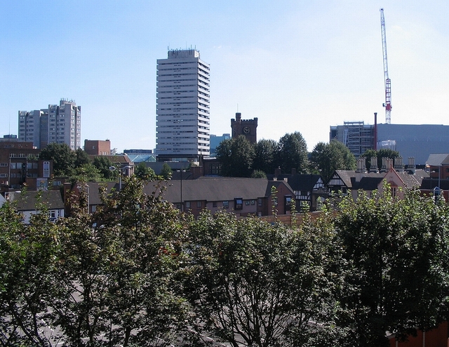
Image: © E Gammie Taken: 25 Aug 2007
The former Bond Street car park is fenced off for the Belgrade Plaza redevelopment and remains so in 2014 (Image]). On the skyline are (L-R) Coventry Point in Market Way, Mercia House tower block, the crenellated tower of St John's church and an under-construction Ikea.
Images are licensed for reuse under creativecommons.org/licenses/by-sa/2.0
Image Location
Latitude
52.409543
Longitude
-1.51601