Road to Malmains Farm
Introduction
The photograph on this page of Road to Malmains Farm by Robin Webster as part of the Geograph project.
The Geograph project started in 2005 with the aim of publishing, organising and preserving representative images for every square kilometre of Great Britain, Ireland and the Isle of Man.

There are currently over 7.5m images from over 14,400 individuals and you can help contribute to the project by visiting https://www.geograph.org.uk
Road to Malmains Farm
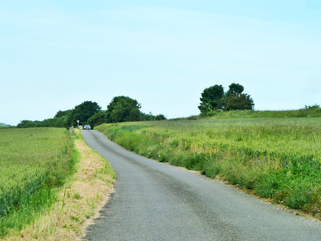
Image: © Robin Webster Taken: 12 Jun 2014
This links to the old A256 at the top of the hill, but this acts, for motor vehicles, only as a route to the farm now, since the building of a new A256 on a different alignment.
Images are licensed for reuse under creativecommons.org/licenses/by-sa/2.0
Image Location
Latitude
51.193122
Longitude
1.289506