Fields near Clifton Dykes
Introduction
The photograph on this page of Fields near Clifton Dykes by Oliver Dixon as part of the Geograph project.
The Geograph project started in 2005 with the aim of publishing, organising and preserving representative images for every square kilometre of Great Britain, Ireland and the Isle of Man.

There are currently over 7.5m images from over 14,400 individuals and you can help contribute to the project by visiting https://www.geograph.org.uk
Fields near Clifton Dykes
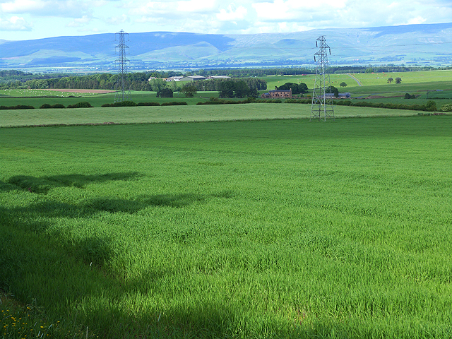
Image: © Oliver Dixon Taken: 11 Jun 2014
Pylons stride across the fields. Haversheaf Hall Farm Image in the middle distance, with Whinfell Park Farm Image to the left and beyond. On the skyline is the North Pennines escarpment
Images are licensed for reuse under creativecommons.org/licenses/by-sa/2.0
Image Location
Latitude
54.639845
Longitude
-2.704474