Path to Boxley
Introduction
The photograph on this page of Path to Boxley by Marathon as part of the Geograph project.
The Geograph project started in 2005 with the aim of publishing, organising and preserving representative images for every square kilometre of Great Britain, Ireland and the Isle of Man.

There are currently over 7.5m images from over 14,400 individuals and you can help contribute to the project by visiting https://www.geograph.org.uk
Path to Boxley
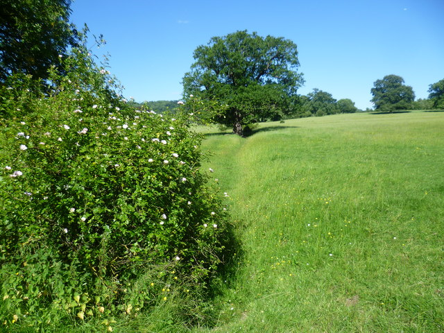
Image: © Marathon Taken: 10 Jun 2014
This attractive path goes across what looks like parkland to cross the Channel Tunnel Rail Link ahead and reach the outskirts of Boxley.
Images are licensed for reuse under creativecommons.org/licenses/by-sa/2.0
Image Location
Latitude
51.294613
Longitude
0.541164