A3066 just north of its junction with A356
Introduction
The photograph on this page of A3066 just north of its junction with A356 by David Smith as part of the Geograph project.
The Geograph project started in 2005 with the aim of publishing, organising and preserving representative images for every square kilometre of Great Britain, Ireland and the Isle of Man.

There are currently over 7.5m images from over 14,400 individuals and you can help contribute to the project by visiting https://www.geograph.org.uk
A3066 just north of its junction with A356
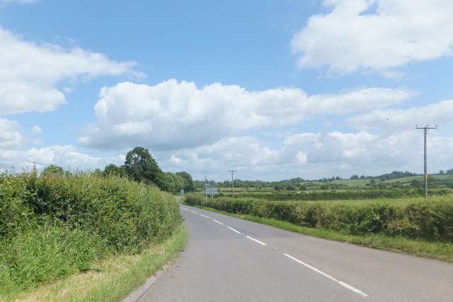
Image: © David Smith Taken: 5 Jun 2014
Flat countryside ahead. On the left, the hedge has been aligned so that traffic has a view of the main road. The verge tapers to nothing
Images are licensed for reuse under creativecommons.org/licenses/by-sa/2.0
Image Location
Latitude
50.868798
Longitude
-2.76719