Junction of A3066 with A356, near Misterton
Introduction
The photograph on this page of Junction of A3066 with A356, near Misterton by David Smith as part of the Geograph project.
The Geograph project started in 2005 with the aim of publishing, organising and preserving representative images for every square kilometre of Great Britain, Ireland and the Isle of Man.

There are currently over 7.5m images from over 14,400 individuals and you can help contribute to the project by visiting https://www.geograph.org.uk
Junction of A3066 with A356, near Misterton
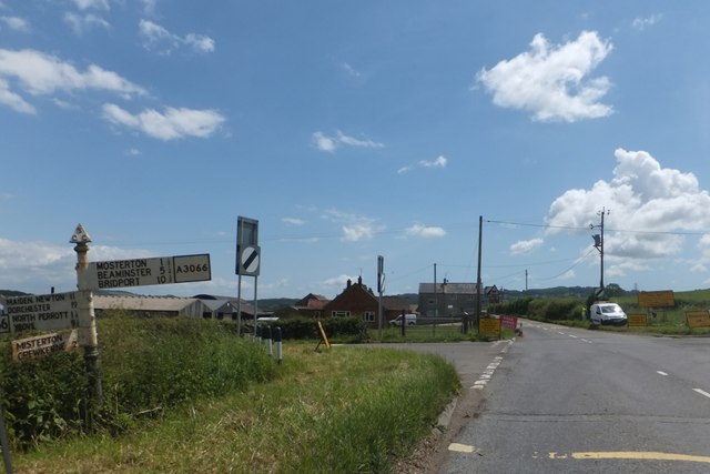
Image: © David Smith Taken: 5 Jun 2014
The traditional signpost on the left looks neglected
Images are licensed for reuse under creativecommons.org/licenses/by-sa/2.0
Image Location


Leaflet Map data © OpenStreetMap
Latitude
50.868256
Longitude
-2.767466