Wouldham Recreation Ground
Introduction
The photograph on this page of Wouldham Recreation Ground by Marathon as part of the Geograph project.
The Geograph project started in 2005 with the aim of publishing, organising and preserving representative images for every square kilometre of Great Britain, Ireland and the Isle of Man.

There are currently over 7.5m images from over 14,400 individuals and you can help contribute to the project by visiting https://www.geograph.org.uk
Wouldham Recreation Ground
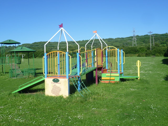
Image: © Marathon Taken: 10 Jun 2014
Wouldham is very typical of a village that was built up by industry (like Snodland on the other side of the River Medway). It was the brick works and cement works here that brought in the workers. This is the recreation ground, next to Knowle Road.
Images are licensed for reuse under creativecommons.org/licenses/by-sa/2.0
Image Location
Latitude
51.347434
Longitude
0.459786