Looking along Pilgrim's Way
Introduction
The photograph on this page of Looking along Pilgrim's Way by Marathon as part of the Geograph project.
The Geograph project started in 2005 with the aim of publishing, organising and preserving representative images for every square kilometre of Great Britain, Ireland and the Isle of Man.

There are currently over 7.5m images from over 14,400 individuals and you can help contribute to the project by visiting https://www.geograph.org.uk
Looking along Pilgrim's Way
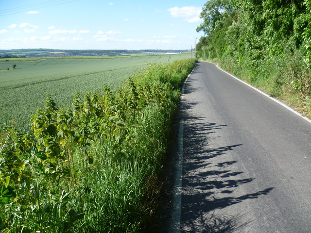
Image: © Marathon Taken: 10 Jun 2014
Ringshill Place and the woods of Wouldham Common are to the right here sloping up to the North Downs Way. The hills in the distance are on the other side of the River Medway, around Ranscombe.
Images are licensed for reuse under creativecommons.org/licenses/by-sa/2.0
Image Location


Leaflet Map data © OpenStreetMap
Latitude
51.352493
Longitude
0.471547