Sankey Brook
Introduction
The photograph on this page of Sankey Brook by andy as part of the Geograph project.
The Geograph project started in 2005 with the aim of publishing, organising and preserving representative images for every square kilometre of Great Britain, Ireland and the Isle of Man.

There are currently over 7.5m images from over 14,400 individuals and you can help contribute to the project by visiting https://www.geograph.org.uk
Sankey Brook
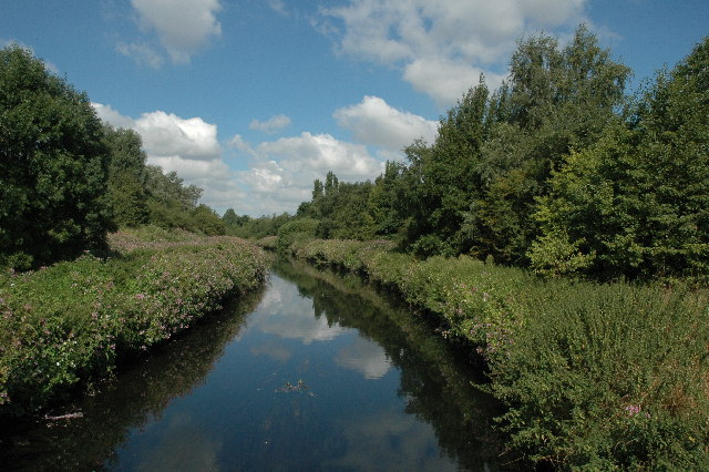
Image: © andy Taken: 20 Aug 2005
This is Sankey Brook (a.k.a. Stinky Brook). Flow is towards the camera and eventually ends up in the River Mersey at Sankey Bridges, Warrington. Not sure where it starts... perhaps I should find out... ...
Images are licensed for reuse under creativecommons.org/licenses/by-sa/2.0
Image Location
Latitude
53.45548
Longitude
-2.682636