Start of the traffic gyratory system in Crewkerne
Introduction
The photograph on this page of Start of the traffic gyratory system in Crewkerne by David Smith as part of the Geograph project.
The Geograph project started in 2005 with the aim of publishing, organising and preserving representative images for every square kilometre of Great Britain, Ireland and the Isle of Man.

There are currently over 7.5m images from over 14,400 individuals and you can help contribute to the project by visiting https://www.geograph.org.uk
Start of the traffic gyratory system in Crewkerne
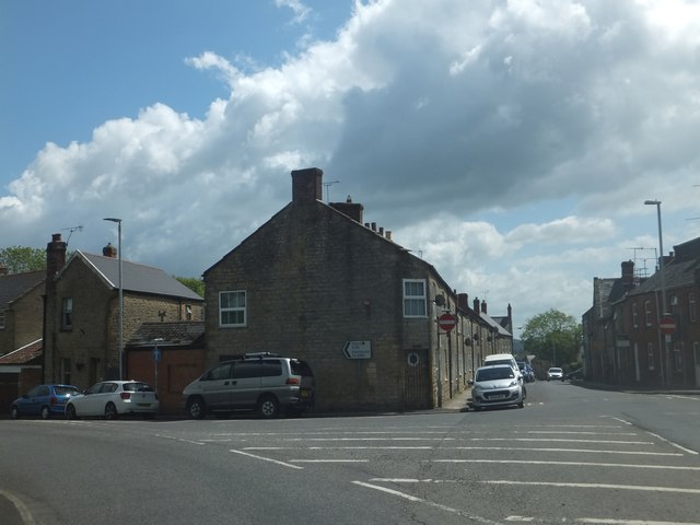
Image: © David Smith Taken: 5 Jun 2014
On the west side of Crewkerne, traffic follows a lengthy one-way system through the narrow urban streets. This is the start for eastbound traffic on the A30 (West Street) with the left fork to Gouldsbrook Terrace
Images are licensed for reuse under creativecommons.org/licenses/by-sa/2.0
Image Location
Latitude
50.88315
Longitude
-2.799269