Sunnymeads Station entrance, Down side
Introduction
The photograph on this page of Sunnymeads Station entrance, Down side by Ben Brooksbank as part of the Geograph project.
The Geograph project started in 2005 with the aim of publishing, organising and preserving representative images for every square kilometre of Great Britain, Ireland and the Isle of Man.

There are currently over 7.5m images from over 14,400 individuals and you can help contribute to the project by visiting https://www.geograph.org.uk
Sunnymeads Station entrance, Down side
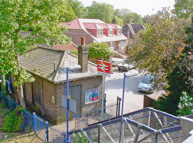
Image: © Ben Brooksbank Taken: 30 Apr 2007
View SW, towards Windsor & Eton Riverside, to right: ex-LSWR Waterloo - Staines - Windsor line.
Images are licensed for reuse under creativecommons.org/licenses/by-sa/2.0
Image Location
Latitude
51.470245
Longitude
-0.559663