Path from Mill Hill to Woodside Park
Introduction
The photograph on this page of Path from Mill Hill to Woodside Park by David Howard as part of the Geograph project.
The Geograph project started in 2005 with the aim of publishing, organising and preserving representative images for every square kilometre of Great Britain, Ireland and the Isle of Man.

There are currently over 7.5m images from over 14,400 individuals and you can help contribute to the project by visiting https://www.geograph.org.uk
Path from Mill Hill to Woodside Park
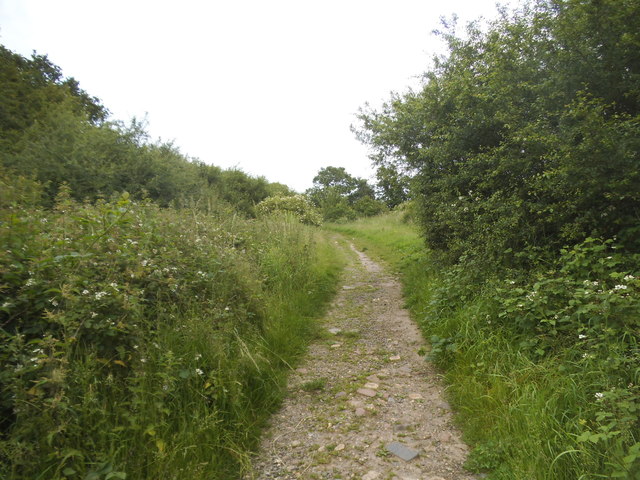
Image: © David Howard Taken: 11 Jun 2014
The area east of The Ridgeway is the end of suburban London and the beginning of open farmland with a few roads going through it until Barnet. It is crossed by many public footpaths joining all the roads with each other.
Images are licensed for reuse under creativecommons.org/licenses/by-sa/2.0
Image Location
Latitude
51.622803
Longitude
-0.198736