Sankey St.Helens Canal (disused)
Introduction
The photograph on this page of Sankey St.Helens Canal (disused) by andy as part of the Geograph project.
The Geograph project started in 2005 with the aim of publishing, organising and preserving representative images for every square kilometre of Great Britain, Ireland and the Isle of Man.

There are currently over 7.5m images from over 14,400 individuals and you can help contribute to the project by visiting https://www.geograph.org.uk
Sankey St.Helens Canal (disused)
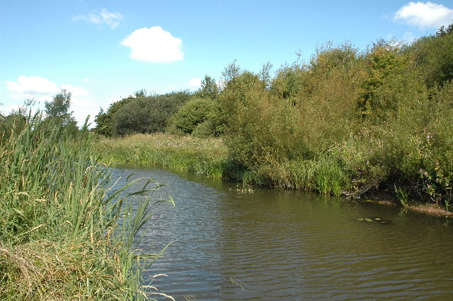
Image: © andy Taken: 20 Aug 2005
This is a small section of the Sankey St.Helens Canal and forms part of Sankey Valley Park. This particular section of water is only around 150 metres long and just clips the bottom left hand corner of this grid square. It is well stocked with coarse fish and Newton Anglers have rights.
Images are licensed for reuse under creativecommons.org/licenses/by-sa/2.0
Image Location
Latitude
53.450039
Longitude
-2.662341