Fields at Linscott
Introduction
The photograph on this page of Fields at Linscott by Derek Harper as part of the Geograph project.
The Geograph project started in 2005 with the aim of publishing, organising and preserving representative images for every square kilometre of Great Britain, Ireland and the Isle of Man.

There are currently over 7.5m images from over 14,400 individuals and you can help contribute to the project by visiting https://www.geograph.org.uk
Fields at Linscott
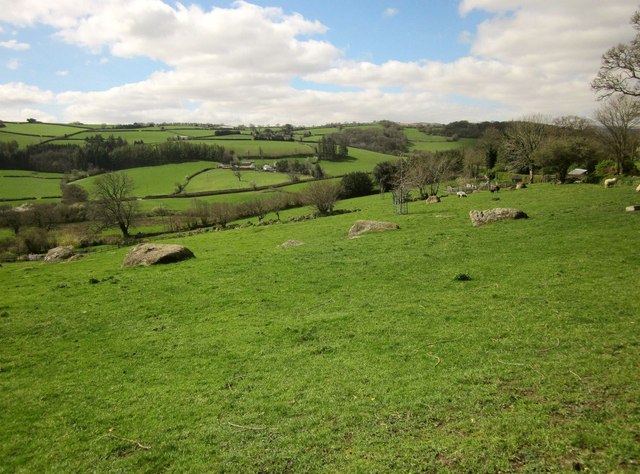
Image: © Derek Harper Taken: 9 Apr 2014
Looking to the left from the spot where Image was taken, with rocks outcropping amidst the pasture. Across the valley is Sainthill.
Images are licensed for reuse under creativecommons.org/licenses/by-sa/2.0
Image Location
Latitude
50.672891
Longitude
-3.788188