Towpath Trail towards Sharpness from Gloucester
Introduction
The photograph on this page of Towpath Trail towards Sharpness from Gloucester by Jaggery as part of the Geograph project.
The Geograph project started in 2005 with the aim of publishing, organising and preserving representative images for every square kilometre of Great Britain, Ireland and the Isle of Man.

There are currently over 7.5m images from over 14,400 individuals and you can help contribute to the project by visiting https://www.geograph.org.uk
Towpath Trail towards Sharpness from Gloucester
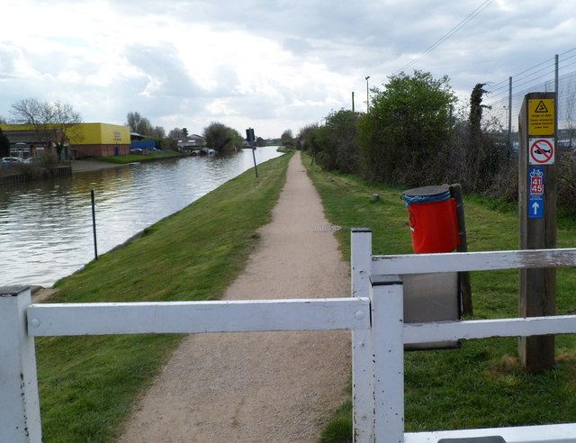
Image: © Jaggery Taken: 13 Apr 2012
Looking SSW from the edge of Hempsted Bridge, along the Towpath Trail alongside the Gloucester and Sharpness Canal. A sign on the post shows that is part of National Cycle Network route 41 and route 45.
Images are licensed for reuse under creativecommons.org/licenses/by-sa/2.0
Image Location
Latitude
51.84464
Longitude
-2.265594