Deal Farm
Introduction
The photograph on this page of Deal Farm by Derek Harper as part of the Geograph project.
The Geograph project started in 2005 with the aim of publishing, organising and preserving representative images for every square kilometre of Great Britain, Ireland and the Isle of Man.

There are currently over 7.5m images from over 14,400 individuals and you can help contribute to the project by visiting https://www.geograph.org.uk
Deal Farm
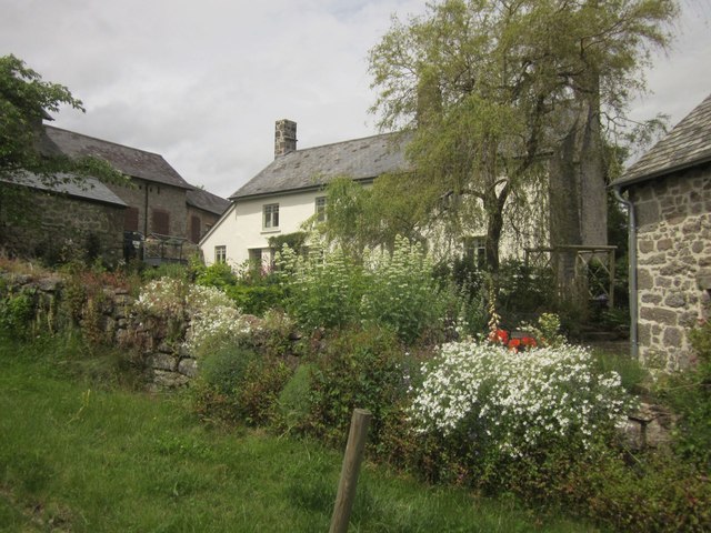
Image: © Derek Harper Taken: 8 Jun 2014
On the lane from Water to Hayne, on a steep hill above the Hayne Brook.
Images are licensed for reuse under creativecommons.org/licenses/by-sa/2.0
Image Location
Latitude
50.612688
Longitude
-3.761026