The School House, Chillesford
Introduction
The photograph on this page of The School House, Chillesford by Peter Facey as part of the Geograph project.
The Geograph project started in 2005 with the aim of publishing, organising and preserving representative images for every square kilometre of Great Britain, Ireland and the Isle of Man.

There are currently over 7.5m images from over 14,400 individuals and you can help contribute to the project by visiting https://www.geograph.org.uk
The School House, Chillesford
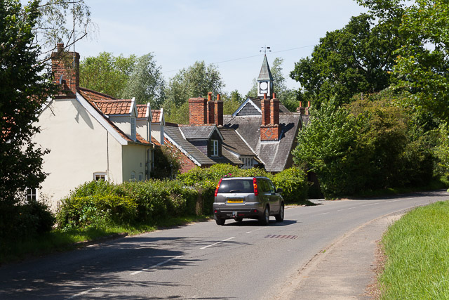
Image: © Peter Facey Taken: 6 Jun 2014
The house on the left is named The Glebe and has a date plaque for 1799. That beyond it is The School House which has a plaque reading P.C.P. 1857. There does not seem to be a functioning clock face on the tower.
Images are licensed for reuse under creativecommons.org/licenses/by-sa/2.0
Image Location
Latitude
52.116204
Longitude
1.481713