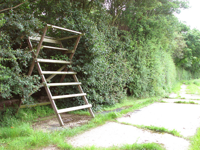
High seat on the western edge of Honeypot Wood
Introduction
The photograph on this page of High seat on the western edge of Honeypot Wood by Evelyn Simak as part of the Geograph project.
The Geograph project started in 2005 with the aim of publishing, organising and preserving representative images for every square kilometre of Great Britain, Ireland and the Isle of Man.
There are currently over 7.5m images from over 14,400 individuals and you can help contribute to the project by visiting https://www.geograph.org.uk

Image: © Evelyn Simak Taken: 10 Jun 2014
This was the road leading from the airfield to the bomb dump. Honeypot Wood, an SSSI in the care of the Norfolk Wildlife Trust, is believed to be a remnant of a wild wood dating back to the retreat of the last ice age. The main track follows the course of the old concrete service roads which in the more overgrown areas are no wider than narrow trails. In WW2 the wood was used by the 392nd Bombardment Group based at RAF Wendling (USAAF Station 118) > http://www.geograph.org.uk/photo/3943063 for the storage of bombs and munitions.

