Monks Risborough - St Dunstan's - Southern fa?ade
Introduction
The photograph on this page of Monks Risborough - St Dunstan's - Southern fa?ade by Rob Farrow as part of the Geograph project.
The Geograph project started in 2005 with the aim of publishing, organising and preserving representative images for every square kilometre of Great Britain, Ireland and the Isle of Man.

There are currently over 7.5m images from over 14,400 individuals and you can help contribute to the project by visiting https://www.geograph.org.uk
Monks Risborough - St Dunstan's - Southern fa?ade
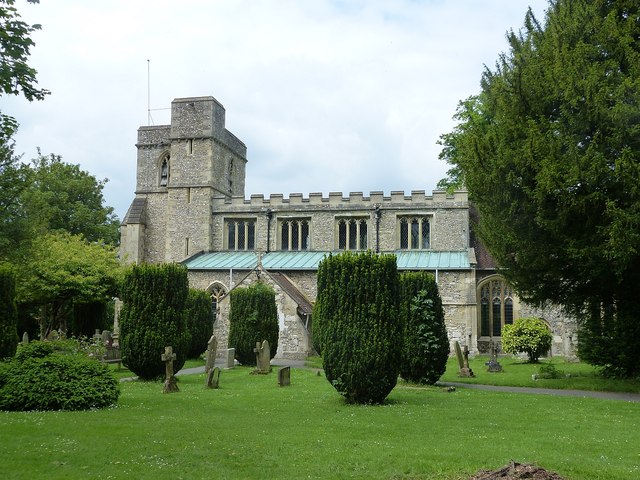
Image: © Rob Farrow Taken: 31 May 2014
St Dunstan's in Monks Risborough is an EH Grade I listed http://list.english-heritage.org.uk/resultsingle.aspx?uid=1125811&searchtype=mapsearch church dating from the C14th and 15th. It contains a Norman "Aylesbury" font of the C12th. It also has a painted rood screen.
Images are licensed for reuse under creativecommons.org/licenses/by-sa/2.0
Image Location
Latitude
51.732521
Longitude
-0.824595