West across New Bridge, Haverfordwest
Introduction
The photograph on this page of West across New Bridge, Haverfordwest by Jaggery as part of the Geograph project.
The Geograph project started in 2005 with the aim of publishing, organising and preserving representative images for every square kilometre of Great Britain, Ireland and the Isle of Man.

There are currently over 7.5m images from over 14,400 individuals and you can help contribute to the project by visiting https://www.geograph.org.uk
West across New Bridge, Haverfordwest
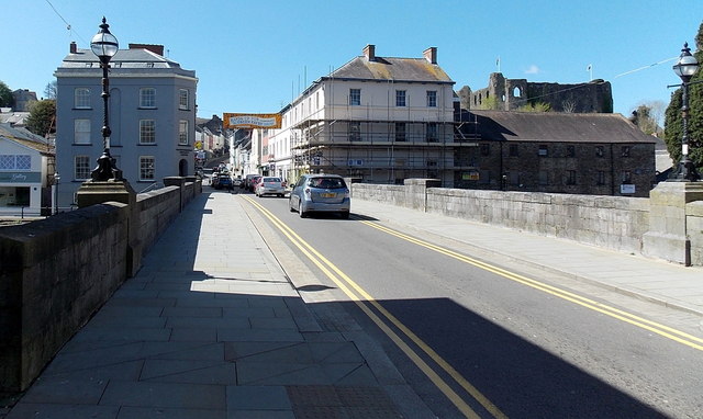
Image: © Jaggery Taken: 18 Apr 2014
Viewed from Picton Place. New Bridge http://www.geograph.org.uk/photo/4020635 carries the road across the Western Cleddau river to Victoria Place and High Street. The bridge, built in the 1830s, is too narrow for two-way traffic. This route is part of the town centre one-way system, away from the camera.
Images are licensed for reuse under creativecommons.org/licenses/by-sa/2.0
Image Location
Latitude
51.802175
Longitude
-4.967572