Water Tower, Great Canney
Introduction
The photograph on this page of Water Tower, Great Canney by Trevor Harris as part of the Geograph project.
The Geograph project started in 2005 with the aim of publishing, organising and preserving representative images for every square kilometre of Great Britain, Ireland and the Isle of Man.

There are currently over 7.5m images from over 14,400 individuals and you can help contribute to the project by visiting https://www.geograph.org.uk
Water Tower, Great Canney
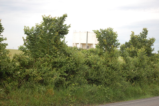
Image: © Trevor Harris Taken: 9 Jun 2014
Hard to see against this sky. Taken from the junction near Blue House Farm.
Images are licensed for reuse under creativecommons.org/licenses/by-sa/2.0
Image Location
Latitude
51.673874
Longitude
0.654628