Southern end of Runcorn railway station
Introduction
The photograph on this page of Southern end of Runcorn railway station by El Pollock as part of the Geograph project.
The Geograph project started in 2005 with the aim of publishing, organising and preserving representative images for every square kilometre of Great Britain, Ireland and the Isle of Man.

There are currently over 7.5m images from over 14,400 individuals and you can help contribute to the project by visiting https://www.geograph.org.uk
Southern end of Runcorn railway station
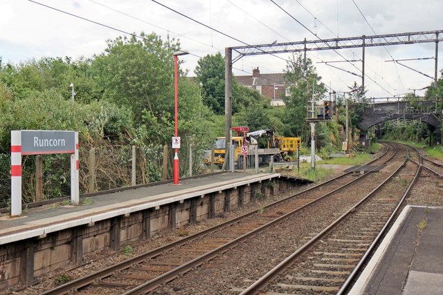
Image: © El Pollock Taken: 8 Jun 2014
The track turns off to the right for Runcorn Dock branch. The bridge is a footbridge, which connects Picow Street and Balfour Street.
Images are licensed for reuse under creativecommons.org/licenses/by-sa/2.0
Image Location
Latitude
53.336937
Longitude
-2.73838