Ravensfleet pumping station
Introduction
The photograph on this page of Ravensfleet pumping station by Jonathan Thacker as part of the Geograph project.
The Geograph project started in 2005 with the aim of publishing, organising and preserving representative images for every square kilometre of Great Britain, Ireland and the Isle of Man.

There are currently over 7.5m images from over 14,400 individuals and you can help contribute to the project by visiting https://www.geograph.org.uk
Ravensfleet pumping station
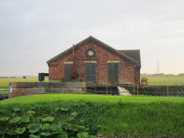
Image: © Jonathan Thacker Taken: 9 Jun 2014
As can be seen the pumps are working hard. A heavy thunderstorm earlier in the day deposited enough rain in the area falling on already saturated land to cause flash flooding in nearby Blyton. Now the opportunity is being taken between high tides to transfer as much water as possible into the Trent.
Images are licensed for reuse under creativecommons.org/licenses/by-sa/2.0
Image Location


Leaflet Map data © OpenStreetMap
Latitude
53.453604
Longitude
-0.795843