Lone tree at High Burnham farm.
Introduction
The photograph on this page of Lone tree at High Burnham farm. by steven ruffles as part of the Geograph project.
The Geograph project started in 2005 with the aim of publishing, organising and preserving representative images for every square kilometre of Great Britain, Ireland and the Isle of Man.

There are currently over 7.5m images from over 14,400 individuals and you can help contribute to the project by visiting https://www.geograph.org.uk
Lone tree at High Burnham farm.
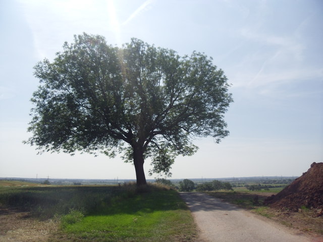
Image: © steven ruffles Taken: 16 Jul 2013
A good viewpoint from the isle of Axholme.
Images are licensed for reuse under creativecommons.org/licenses/by-sa/2.0
Image Location
Latitude
53.501374
Longitude
-0.817708