Ash near Lower Elsford
Introduction
The photograph on this page of Ash near Lower Elsford by Derek Harper as part of the Geograph project.
The Geograph project started in 2005 with the aim of publishing, organising and preserving representative images for every square kilometre of Great Britain, Ireland and the Isle of Man.

There are currently over 7.5m images from over 14,400 individuals and you can help contribute to the project by visiting https://www.geograph.org.uk
Ash near Lower Elsford
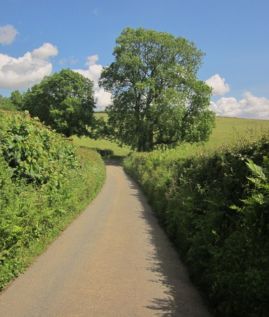
Image: © Derek Harper Taken: 5 Jun 2014
The ash that dominates the junction shown in Image, where the farm lane into Lower Elsford turns off to the right.
Images are licensed for reuse under creativecommons.org/licenses/by-sa/2.0
Image Location
Latitude
50.633334
Longitude
-3.709335