Junction of Thorpe Lane with Church Lane
Introduction
The photograph on this page of Junction of Thorpe Lane with Church Lane by Christopher Hall as part of the Geograph project.
The Geograph project started in 2005 with the aim of publishing, organising and preserving representative images for every square kilometre of Great Britain, Ireland and the Isle of Man.

There are currently over 7.5m images from over 14,400 individuals and you can help contribute to the project by visiting https://www.geograph.org.uk
Junction of Thorpe Lane with Church Lane
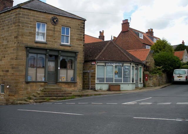
Image: © Christopher Hall Taken: 8 Jun 2014
Church Lane runs off Thorpe Lane up to Old St Stephens Church, a distant view of which is seen in Image
Images are licensed for reuse under creativecommons.org/licenses/by-sa/2.0
Image Location
Latitude
54.432137
Longitude
-0.547951