Coilsfield Farmland View
Introduction
The photograph on this page of Coilsfield Farmland View by Mary and Angus Hogg as part of the Geograph project.
The Geograph project started in 2005 with the aim of publishing, organising and preserving representative images for every square kilometre of Great Britain, Ireland and the Isle of Man.

There are currently over 7.5m images from over 14,400 individuals and you can help contribute to the project by visiting https://www.geograph.org.uk
Coilsfield Farmland View
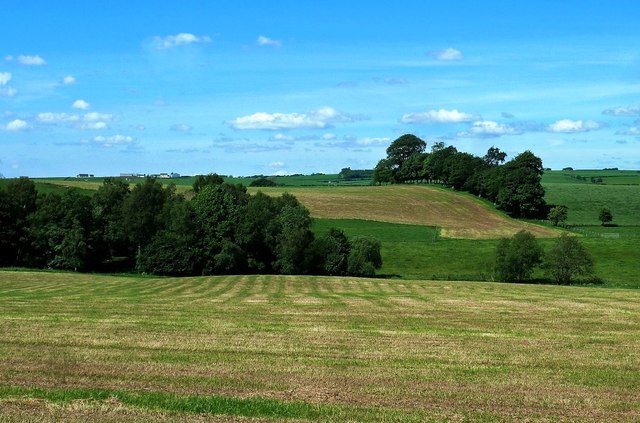
Image: © Mary and Angus Hogg Taken: 6 Jun 2014
Lowland Ayrshire has been shaped by glacial deposits. The rolling farmland is made from drumlins, laid down underneath the moving ice sheets of the last glaciation. An early-June view with the first silage cut already gathered in.
Images are licensed for reuse under creativecommons.org/licenses/by-sa/2.0
Image Location
Latitude
55.507635
Longitude
-4.458751