Ford at Pontesbury
Introduction
The photograph on this page of Ford at Pontesbury by John Walton as part of the Geograph project.
The Geograph project started in 2005 with the aim of publishing, organising and preserving representative images for every square kilometre of Great Britain, Ireland and the Isle of Man.

There are currently over 7.5m images from over 14,400 individuals and you can help contribute to the project by visiting https://www.geograph.org.uk
Ford at Pontesbury
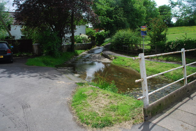
Image: © John Walton Taken: 8 Jun 2014
This is the first of a pair of fords opposite The Plough public house in Pontesbury. They are separated by a footbridge which carries the National Cycle Trail No:44.
Images are licensed for reuse under creativecommons.org/licenses/by-sa/2.0
Image Location
Latitude
52.646784
Longitude
-2.887952