Black Bank, lake
Introduction
The photograph on this page of Black Bank, lake by Mike Faherty as part of the Geograph project.
The Geograph project started in 2005 with the aim of publishing, organising and preserving representative images for every square kilometre of Great Britain, Ireland and the Isle of Man.

There are currently over 7.5m images from over 14,400 individuals and you can help contribute to the project by visiting https://www.geograph.org.uk
Black Bank, lake
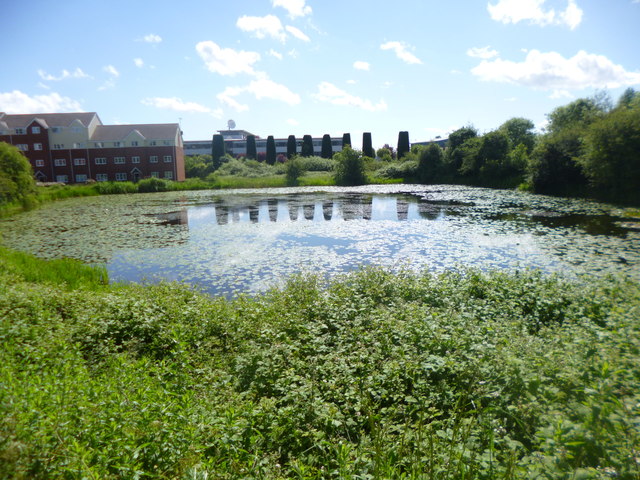
Image: © Mike Faherty Taken: 8 Jun 2014
Possibly connected with the former nearby Exhall Colliery, the lake is shown on Victorian OS maps; it is now a source of local plant and birdlife. Residential buildings on The Waterfront to the left.
Images are licensed for reuse under creativecommons.org/licenses/by-sa/2.0
Image Location
Latitude
52.472936
Longitude
-1.476744