The Cwm-y-glo by-pass
Introduction
The photograph on this page of The Cwm-y-glo by-pass by Eric Jones as part of the Geograph project.
The Geograph project started in 2005 with the aim of publishing, organising and preserving representative images for every square kilometre of Great Britain, Ireland and the Isle of Man.

There are currently over 7.5m images from over 14,400 individuals and you can help contribute to the project by visiting https://www.geograph.org.uk
The Cwm-y-glo by-pass
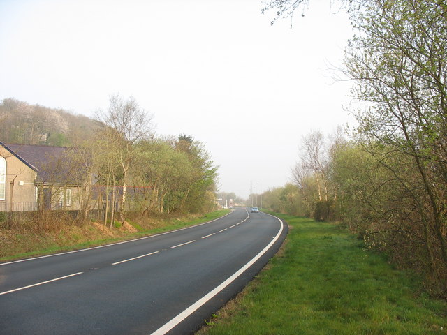
Image: © Eric Jones Taken: 15 Apr 2007
This by-pass was constructed just prior to the start on the Dinorwig HEP scheme to ease access to Llanberis.
Images are licensed for reuse under creativecommons.org/licenses/by-sa/2.0
Image Location
Latitude
53.142956
Longitude
-4.167229