Lane at Elsford
Introduction
The photograph on this page of Lane at Elsford by Derek Harper as part of the Geograph project.
The Geograph project started in 2005 with the aim of publishing, organising and preserving representative images for every square kilometre of Great Britain, Ireland and the Isle of Man.

There are currently over 7.5m images from over 14,400 individuals and you can help contribute to the project by visiting https://www.geograph.org.uk
Lane at Elsford
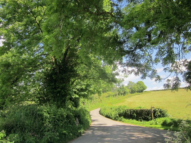
Image: © Derek Harper Taken: 5 Jun 2014
The footpath sign points down the farm lane shown in Image, followed by Bovey Tracey Footpath 21. Image] and Image] were taken looking to the left here, on either side of the field boundary that heads up the stream.
Images are licensed for reuse under creativecommons.org/licenses/by-sa/2.0
Image Location
Latitude
50.63325
Longitude
-3.708908