Weardale Way approaching High Butterby Farm
Introduction
The photograph on this page of Weardale Way approaching High Butterby Farm by Trevor Littlewood as part of the Geograph project.
The Geograph project started in 2005 with the aim of publishing, organising and preserving representative images for every square kilometre of Great Britain, Ireland and the Isle of Man.

There are currently over 7.5m images from over 14,400 individuals and you can help contribute to the project by visiting https://www.geograph.org.uk
Weardale Way approaching High Butterby Farm
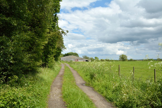
Image: © Trevor Littlewood Taken: 8 Jun 2014
The farm road is heading north-east towards the farm, a barn of which can be seen. The trees to the left are of Butterby Wood which is on a slope dropping away sharply northwards towards the River Wear.
Images are licensed for reuse under creativecommons.org/licenses/by-sa/2.0
Image Location
Latitude
54.742622
Longitude
-1.553394