Bridge Street, Neston
Introduction
The photograph on this page of Bridge Street, Neston by Oliver Dixon as part of the Geograph project.
The Geograph project started in 2005 with the aim of publishing, organising and preserving representative images for every square kilometre of Great Britain, Ireland and the Isle of Man.

There are currently over 7.5m images from over 14,400 individuals and you can help contribute to the project by visiting https://www.geograph.org.uk
Bridge Street, Neston
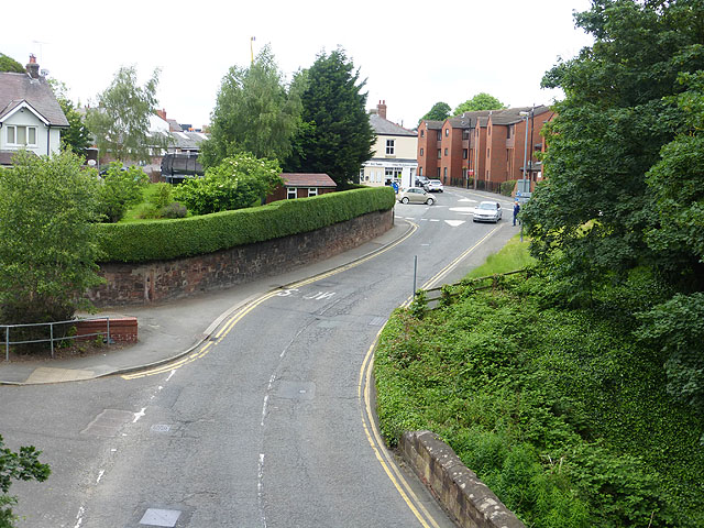
Image: © Oliver Dixon Taken: 4 Jun 2014
Looking north from the footbridge which carries the Wirral Way.
Images are licensed for reuse under creativecommons.org/licenses/by-sa/2.0
Image Location
Latitude
53.288196
Longitude
-3.06246