Chrisharben Park
Introduction
The photograph on this page of Chrisharben Park by Alan Longbottom as part of the Geograph project.
The Geograph project started in 2005 with the aim of publishing, organising and preserving representative images for every square kilometre of Great Britain, Ireland and the Isle of Man.

There are currently over 7.5m images from over 14,400 individuals and you can help contribute to the project by visiting https://www.geograph.org.uk
Chrisharben Park
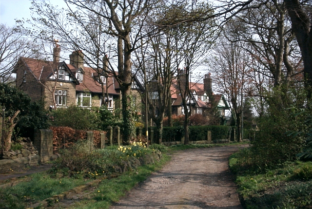
Image: © Alan Longbottom Taken: 15 Apr 2007
Large Villa type housing built speculatively by one of the millowners in the village.
Images are licensed for reuse under creativecommons.org/licenses/by-sa/2.0
Image Location
Latitude
53.782837
Longitude
-1.817544