The Upper Newtownards Road (EWAY), Ballyhackamore, Belfast - June 2014(6)
Introduction
The photograph on this page of The Upper Newtownards Road (EWAY), Ballyhackamore, Belfast - June 2014(6) by Albert Bridge as part of the Geograph project.
The Geograph project started in 2005 with the aim of publishing, organising and preserving representative images for every square kilometre of Great Britain, Ireland and the Isle of Man.

There are currently over 7.5m images from over 14,400 individuals and you can help contribute to the project by visiting https://www.geograph.org.uk
The Upper Newtownards Road (EWAY), Ballyhackamore, Belfast - June 2014(6)
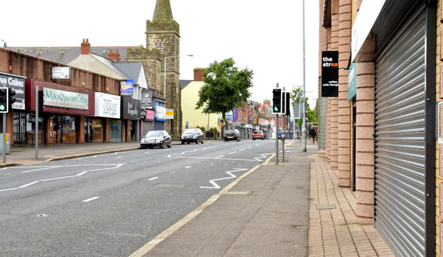
Image: © Albert Bridge Taken: 8 Jun 2014
The view, inward, along the Upper Newtownards Road at Library Court Image There are no bus-priority measures or waiting restrictions here.
Images are licensed for reuse under creativecommons.org/licenses/by-sa/2.0
Image Location
Latitude
54.59513
Longitude
-5.865967