Hilltop houses in Haverfordwest
Introduction
The photograph on this page of Hilltop houses in Haverfordwest by Jaggery as part of the Geograph project.
The Geograph project started in 2005 with the aim of publishing, organising and preserving representative images for every square kilometre of Great Britain, Ireland and the Isle of Man.

There are currently over 7.5m images from over 14,400 individuals and you can help contribute to the project by visiting https://www.geograph.org.uk
Hilltop houses in Haverfordwest
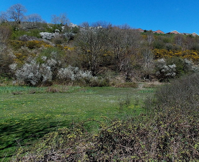
Image: © Jaggery Taken: 18 Apr 2014
Shakespeare Close houses viewed from the A4076 Freemans Way.
Images are licensed for reuse under creativecommons.org/licenses/by-sa/2.0
Image Location
Latitude
51.794257
Longitude
-4.971258