The Grange, Hurstpierpoint
Introduction
The photograph on this page of The Grange, Hurstpierpoint by Simon Carey as part of the Geograph project.
The Geograph project started in 2005 with the aim of publishing, organising and preserving representative images for every square kilometre of Great Britain, Ireland and the Isle of Man.

There are currently over 7.5m images from over 14,400 individuals and you can help contribute to the project by visiting https://www.geograph.org.uk
The Grange, Hurstpierpoint
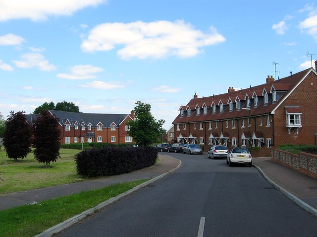
Image: © Simon Carey Taken: 31 May 2014
A new development from 2008, see Image, and now named after a house that lies behind me to the south now known as Ladymead. The development was built on a couple of former fields called Box House Field and Lower Acres according to Hurstpierpoint's 1842 tithe map.
Images are licensed for reuse under creativecommons.org/licenses/by-sa/2.0
Image Location
Latitude
50.93576
Longitude
-0.187411