Long wooden building in a back lane, Pontyclun
Introduction
The photograph on this page of Long wooden building in a back lane, Pontyclun by Jaggery as part of the Geograph project.
The Geograph project started in 2005 with the aim of publishing, organising and preserving representative images for every square kilometre of Great Britain, Ireland and the Isle of Man.

There are currently over 7.5m images from over 14,400 individuals and you can help contribute to the project by visiting https://www.geograph.org.uk
Long wooden building in a back lane, Pontyclun
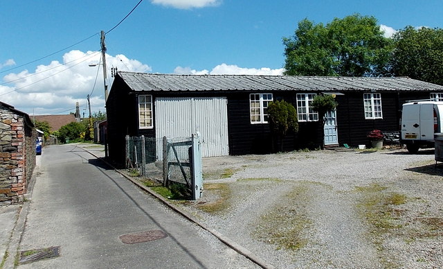
Image: © Jaggery Taken: 5 Jun 2014
From a distance, this 18 metre long building looked liked it could be a scout hut or an Army Cadets hut. It wasn't either of these. The lane extends north from Clun Avenue towards St Paul's Church. http://www.geograph.org.uk/photo/4017275
Images are licensed for reuse under creativecommons.org/licenses/by-sa/2.0
Image Location
Latitude
51.524717
Longitude
-3.389343