Pontyclun Fire Station
Introduction
The photograph on this page of Pontyclun Fire Station by Jaggery as part of the Geograph project.
The Geograph project started in 2005 with the aim of publishing, organising and preserving representative images for every square kilometre of Great Britain, Ireland and the Isle of Man.

There are currently over 7.5m images from over 14,400 individuals and you can help contribute to the project by visiting https://www.geograph.org.uk
Pontyclun Fire Station
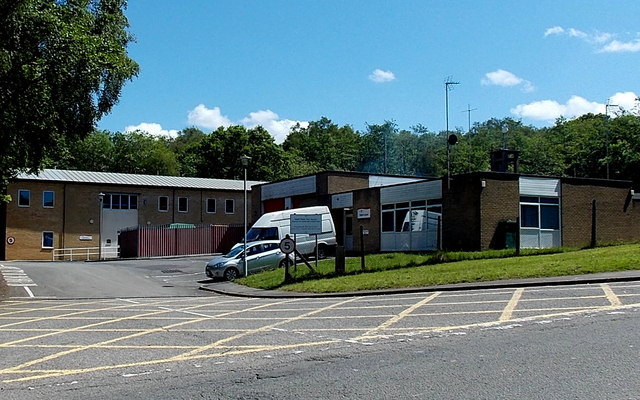
Image: © Jaggery Taken: 5 Jun 2014
Located alongside Llantrisant Road at the northern edge of the village. Part of the South Wales Fire and Rescue Service, Pontyclun Fire Station officially opened in June 1980.
Images are licensed for reuse under creativecommons.org/licenses/by-sa/2.0
Image Location
Latitude
51.527057
Longitude
-3.389126