Ockmans Lane
Introduction
The photograph on this page of Ockmans Lane by Simon Carey as part of the Geograph project.
The Geograph project started in 2005 with the aim of publishing, organising and preserving representative images for every square kilometre of Great Britain, Ireland and the Isle of Man.

There are currently over 7.5m images from over 14,400 individuals and you can help contribute to the project by visiting https://www.geograph.org.uk
Ockmans Lane
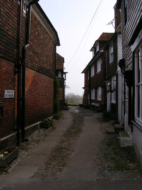
Image: © Simon Carey Taken: 13 Apr 2007
A small dead end end lane that leads to the edge of a cliff. Up to 1350 the lane would have led to the east cliff area of Rye, however, the cliff was eroded by the Rother and finally collapsed along with many now deserted buildings in 1375.
Images are licensed for reuse under creativecommons.org/licenses/by-sa/2.0
Image Location


Leaflet Map data © OpenStreetMap
Latitude
50.951162
Longitude
0.734967