48 High Street, Hurstpierpoint
Introduction
The photograph on this page of 48 High Street, Hurstpierpoint by Simon Carey as part of the Geograph project.
The Geograph project started in 2005 with the aim of publishing, organising and preserving representative images for every square kilometre of Great Britain, Ireland and the Isle of Man.

There are currently over 7.5m images from over 14,400 individuals and you can help contribute to the project by visiting https://www.geograph.org.uk
48 High Street, Hurstpierpoint
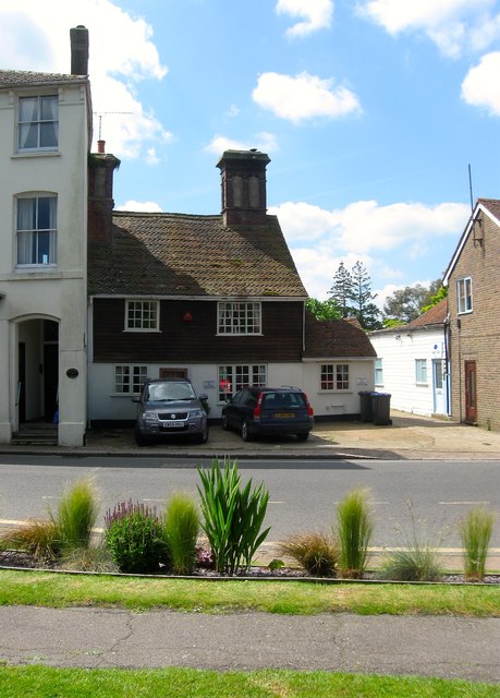
Image: © Simon Carey Taken: 31 May 2014
The house dates from the 17th century and seems to be dwarfed by the latter Victorian and edwardian structures next to it.
Images are licensed for reuse under creativecommons.org/licenses/by-sa/2.0
Image Location
Latitude
50.933468
Longitude
-0.178818