South Avenue, Hurspierpoint
Introduction
The photograph on this page of South Avenue, Hurspierpoint by Simon Carey as part of the Geograph project.
The Geograph project started in 2005 with the aim of publishing, organising and preserving representative images for every square kilometre of Great Britain, Ireland and the Isle of Man.

There are currently over 7.5m images from over 14,400 individuals and you can help contribute to the project by visiting https://www.geograph.org.uk
South Avenue, Hurspierpoint
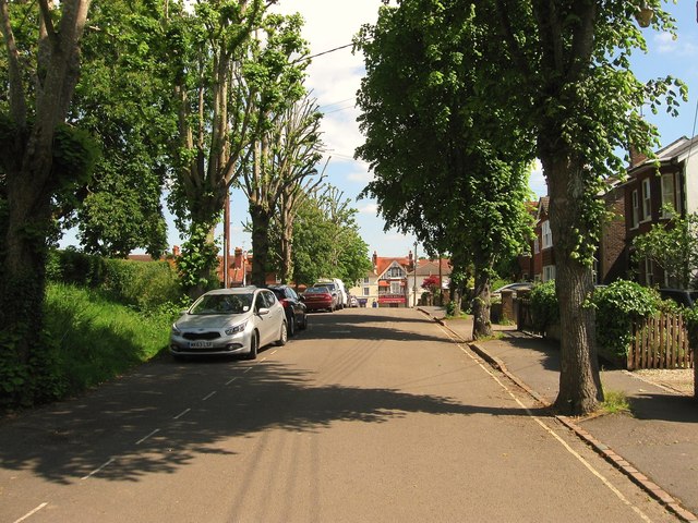
Image: © Simon Carey Taken: 31 May 2014
Laid out toward the end of the 19th century when it was initially known as Hill Road. The dead end road heads north to High Street, the B2116.
Images are licensed for reuse under creativecommons.org/licenses/by-sa/2.0
Image Location
Latitude
50.931244
Longitude
-0.174636